
LEICA GEOSPATIAL SOLUTIONS
Leica 3D Laser Scanning Solutions
Advanced reality capture solutions for BIM, digital twins, industrial measurement and 3D documentation projects.
Request Leica Solution01 Overview
QLXGEO provides Leica reality capture solutions for professionals requiring accurate 3D data acquisition, point cloud processing and digital project documentation.
02 Key Specifications
Scanning Technology
High accuracy 3D laser scanning
Data Output
Point cloud and 3D spatial data
Workflow
Reality capture and digital processing
Integration
BIM and digital twin applications
03 Applications
BIM Projects
Digital Twin
Industrial Measurement
Need Leica 3D Scanning Solution?
Contact QLXGEO professional team for Leica reality capture solutions.
Contact UsDownloads
RELATED PRODUCTS
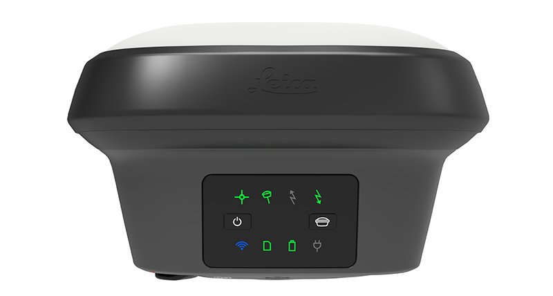
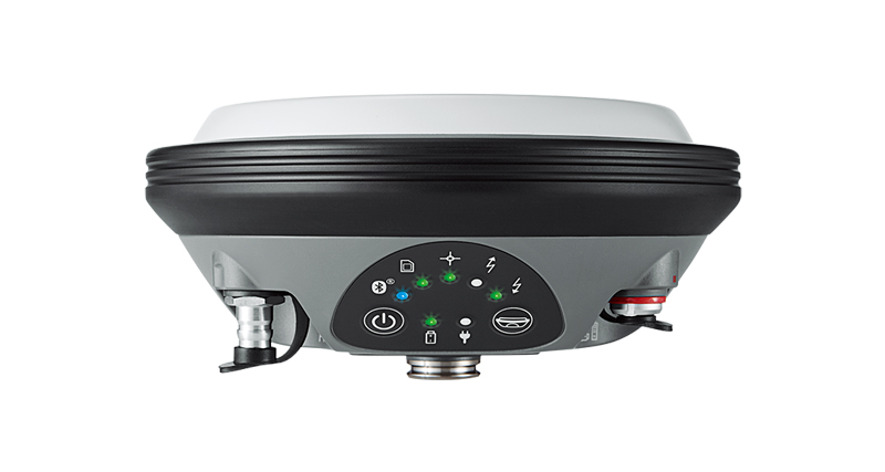
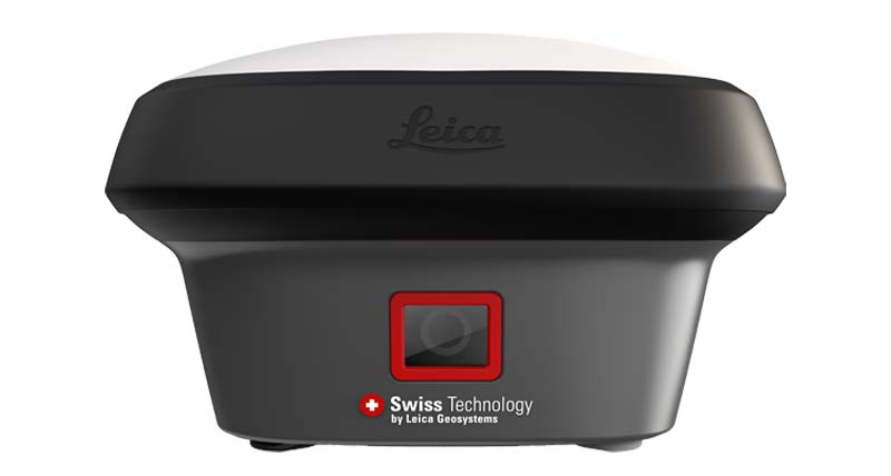
Related Leica GNSS RTK Products