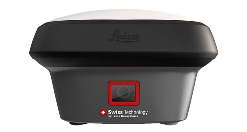
LEICA GNSS RTK
Leica GS16
Professional GNSS Smart Antenna
Reliable Leica GNSS smart antenna for professional surveying, construction and engineering field applications.
Request QuoteOverview
Leica GS16 provides proven GNSS RTK performance for professional surveyors, contractors and engineering teams requiring reliable field productivity.
Key Highlights
✓ Professional GNSS
✓ RTK Positioning
✓ Survey & Stakeout
✓ Reliable Field Workflow
✓ Engineering Applications
✓ Leica Ecosystem
Applications
Land Surveying
Construction
Stakeout
Infrastructure
Engineering
GIS
Technical Specifications
Product Type
GNSS Smart Antenna
Positioning
GNSS RTK
Accuracy
Centimeter Level
Application
Surveying & Engineering
Workflow
Professional Field Survey
Package Includes
✓ Leica GS16 GNSS Antenna
✓ Battery
✓ Charger
✓ Pole Adapter
✓ Transport Case
Downloads
Frequently Asked Questions
Who is Leica GS16 suitable for?
It is suitable for professional surveyors, contractors and engineering teams requiring reliable GNSS RTK workflows.
Can Leica GS16 be used for construction surveying?
Yes. Leica GS16 is suitable for construction, infrastructure and engineering projects.
RELATED PRODUCTS
Related Leica GNSS RTK Products

Looking for Leica GNSS RTK Equipment?
Contact QLXGEO for model availability, quotation, shipping options and professional surveying equipment support.