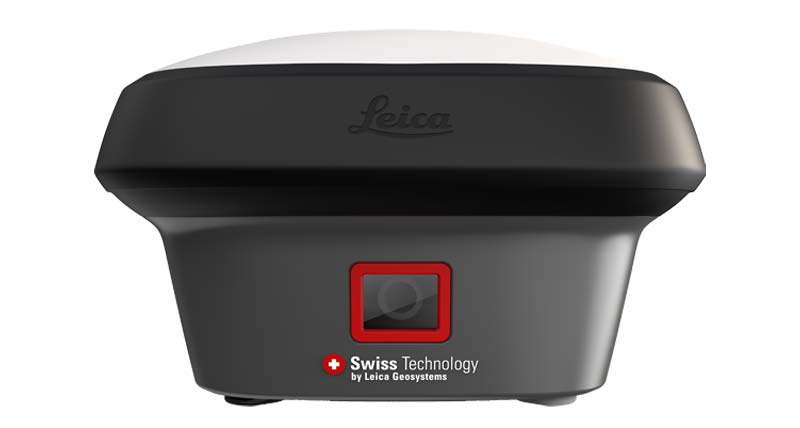
LEICA GNSS RTK
Leica GS18
High Performance GNSS Smart Antenna
Professional Leica GNSS smart antenna designed for reliable RTK surveying and flexible field workflows.
Request QuoteOverview
Leica GS18 is a high-performance GNSS smart antenna designed for professional surveyors requiring reliable positioning performance, flexible RTK workflows and Leica field software integration.
Key Highlights
✓ High Performance GNSS
✓ RTK Surveying
✓ Base / Rover Workflow
✓ Professional Field Use
✓ Flexible Configuration
✓ Engineering Applications
Applications
Land Surveying
Construction
Infrastructure
Engineering Survey
GIS
Stakeout
Technical Specifications
Product Type
GNSS Smart Antenna
Positioning
GNSS RTK
RTK Accuracy
Centimeter Level Positioning
Workflow
Base / Rover Configuration
Software
Leica Captivate Compatible
Package Includes
✓ Leica GS18 GNSS Smart Antenna
✓ Rechargeable Battery
✓ Battery Charger
✓ Adapter
✓ Transport Case
Downloads
Frequently Asked Questions
Can Leica GS18 be used for professional RTK surveying?
Yes. Leica GS18 is designed for professional GNSS RTK surveying, construction and engineering applications.
Does Leica GS18 support base and rover workflows?
Yes. It supports flexible GNSS surveying workflows for professional users.
RELATED PRODUCTS
Related Leica GNSS RTK Products
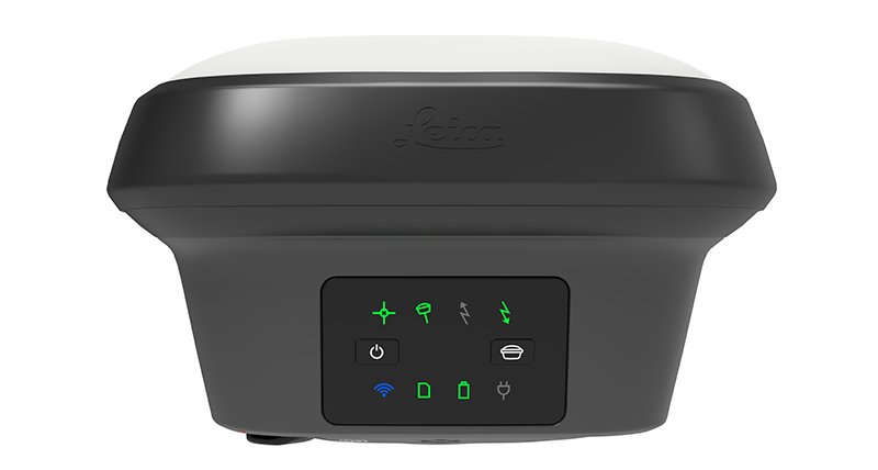
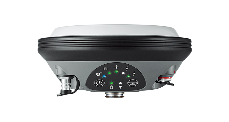
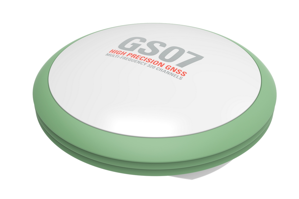
Looking for Leica GNSS RTK Equipment?
Contact QLXGEO for model availability, quotation, shipping options and professional surveying equipment support.