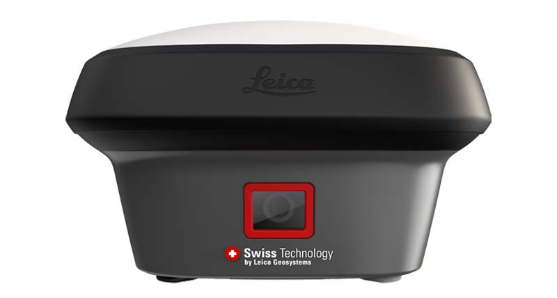
LEICA GNSS RTK
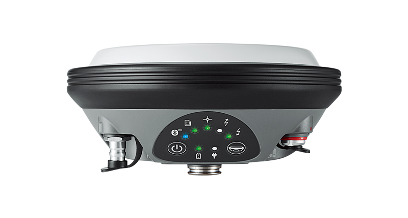
Leica GS18 T
Tilt Compensating GNSS RTK Rover
Professional Leica GNSS RTK rover designed for fast surveying with efficient tilt-compensated field workflows.
Request QuoteOverview
Leica GS18 T provides professional GNSS RTK performance with advanced tilt compensation technology, allowing surveyors to work faster without traditional pole leveling procedures.
Key Highlights
✓ Tilt Compensation
✓ Fast Stakeout
✓ Professional RTK Survey
✓ Efficient Field Workflow
Applications
Construction
Land Surveying
Infrastructure
Road Engineering
Stakeout
Mining Survey
Technical Specifications
Positioning
Professional GNSS RTK
Tilt Compensation
Supported
Calibration
Calibration-Free Tilt Workflow
RTK Accuracy
8 mm + 1 ppm
Application
Surveying & Engineering
Package Includes
✓ Leica GS18 T GNSS Smart Antenna
✓ Battery
✓ Charger
✓ Transport Case
✓ Pole Adapter
Downloads
Frequently Asked Questions
What is the main advantage of Leica GS18 T?
Its tilt compensation technology improves productivity and allows faster field surveying.
Is Leica GS18 T suitable for construction projects?
Yes. It is widely used for construction, infrastructure and engineering surveying.
RELATED PRODUCTS
Related Leica GNSS RTK Products

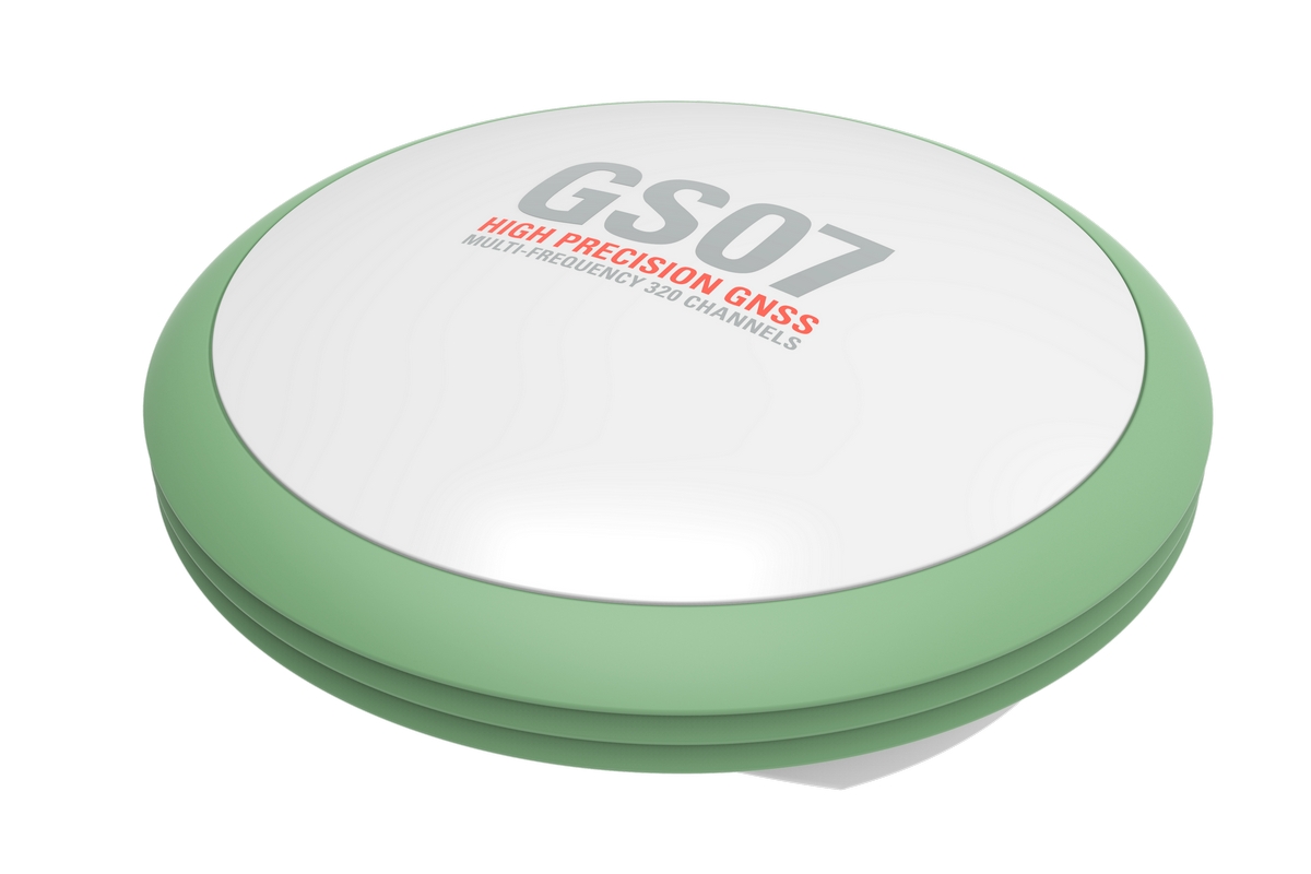
Looking for Leica GNSS RTK Equipment?
Contact QLXGEO for model availability, quotation, shipping options and professional surveying equipment support.