Leica Geospatial Equipment
Professional Leica surveying solutions for engineering companies, surveying professionals and global projects.
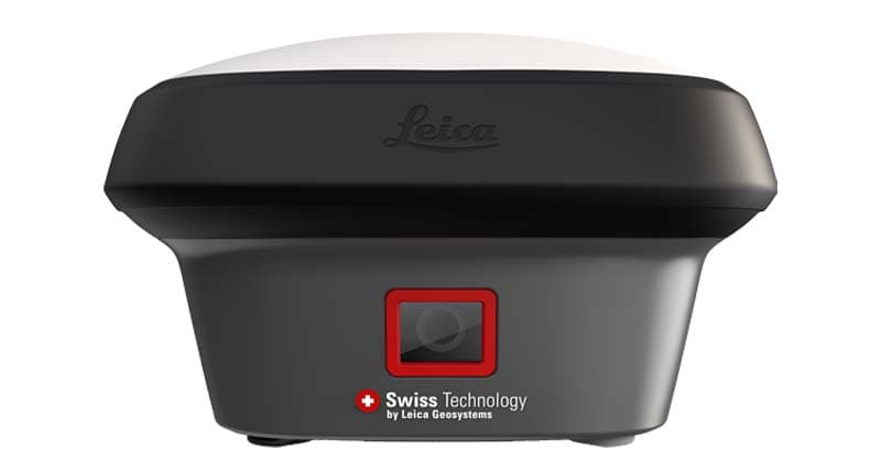
Leica GNSS Solutions
GS18 / GS16 Series
High precision GNSS positioning solutions for professional surveying, construction and mapping applications.
Explore Solution →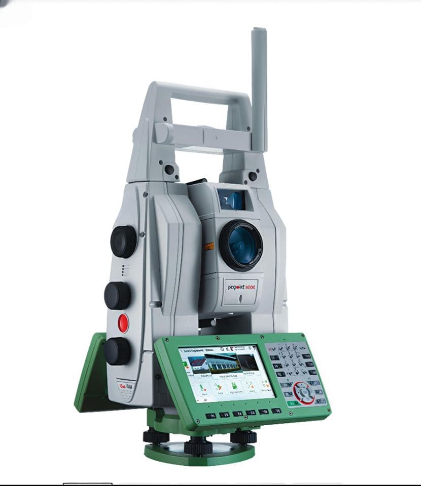
Leica Total Station Solutions
TS16 / TS13 Series
Advanced robotic total station solutions for engineering, infrastructure and professional measurement projects.
Explore Solution →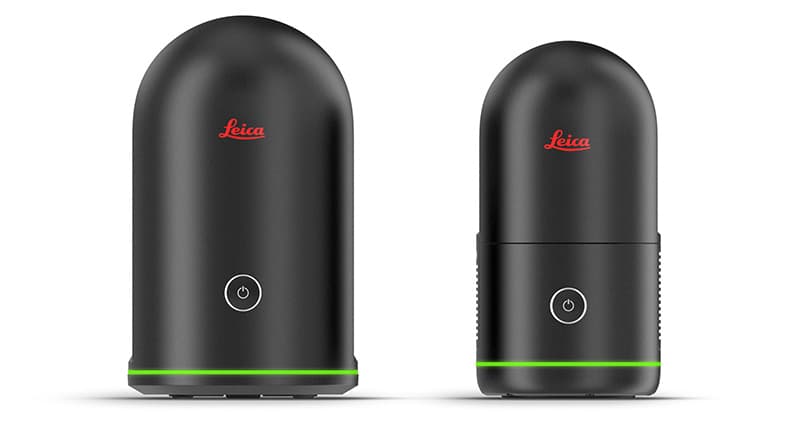
Leica 3D Laser Scanning
BLK / RTC Series
Reality capture technology for BIM, digital twin and 3D spatial documentation.
Explore Solution →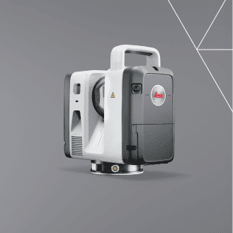
Leica RTC Series
Explore Solution →Professional Leica Solutions
Precision Technology
High accuracy measurement solutions for professional applications.
Project Support
Technical consulting and solution recommendations.
Global Supply
Supporting customers across Asia, Middle East and Africa.