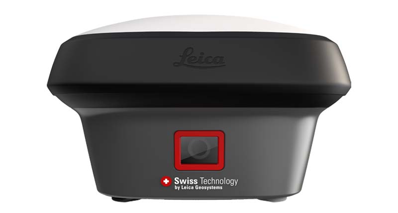
LEICA GNSS RTK
High Precision GNSS RTK Solution
Professional Leica GNSS RTK positioning solutions for surveying, construction, mapping and engineering projects worldwide.
Key Features
✓ Centimeter Accuracy
✓ Multi-Band GNSS
✓ RTK Network Support
✓ Professional Surveying
Applications
Construction Survey
Land Surveying
GIS Mapping
Infrastructure Projects
Technical Specification
GNSS
GPS / GLONASS / Galileo / BeiDou
Accuracy
RTK centimeter level
Communication
4G / Bluetooth
Application
Professional Surveying
Need Leica GNSS RTK Solution?
Contact QLXGEO for quotation, technical support and global supply.
Request Quote