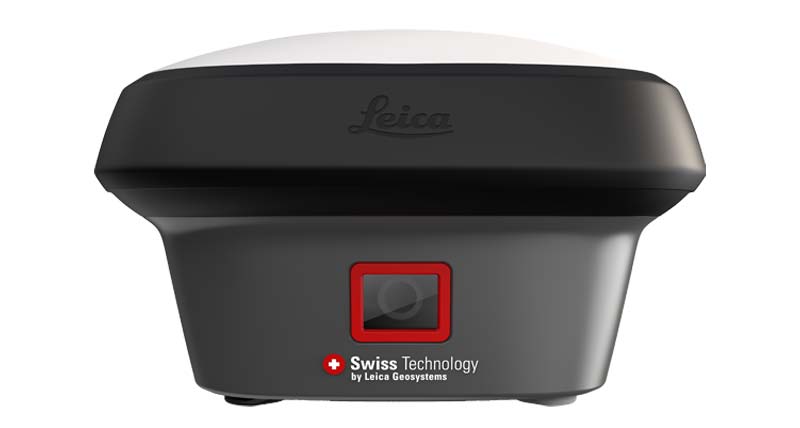
Leica GNSS RTK
High-precision GNSS RTK positioning solutions for professional surveying, construction and engineering projects.
QLXGEO PRODUCTS
Leica surveying and reality capture solutions for professional users worldwide.
GNSS RTK | Total Station | RTC Series | BLK Series
High-precision GNSS RTK positioning solutions for professional surveying, construction and engineering projects.
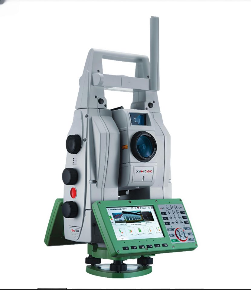
Professional total station solutions for construction, infrastructure, engineering and high-precision surveying.
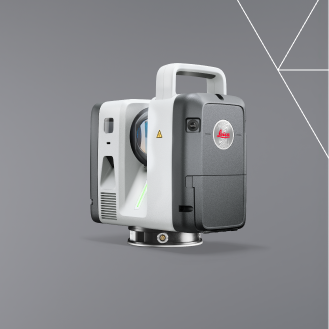
Professional RTC300, RTC500 and RTC700 3D reality capture laser scanners for BIM, construction, infrastructure and digital twin applications.
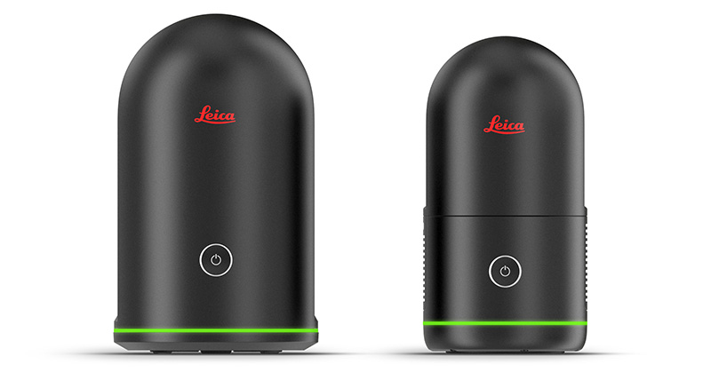
Compact and mobile 3D reality capture solutions for architecture, BIM, engineering, public safety and digital documentation.
QLXGEO
Contact QLXGEO for product availability, technical consultation, quotation and worldwide delivery.