Equipment inventory
We hold surveying equipment in stock. Ask us to confirm the model, configuration and current quantity.

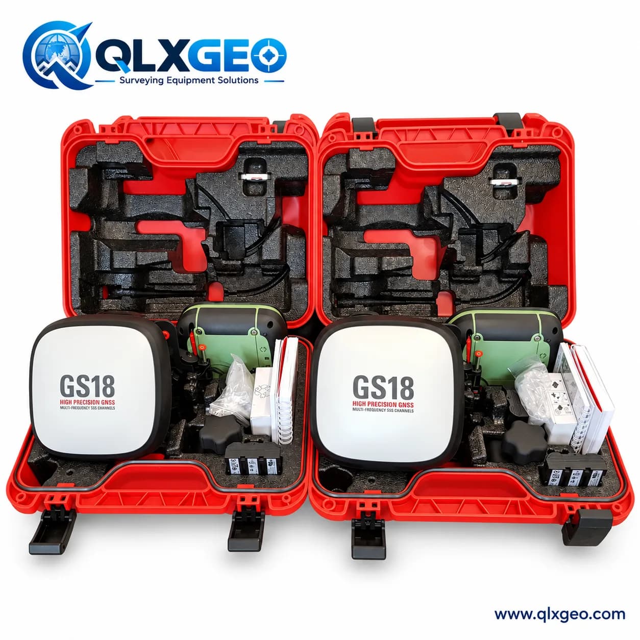
Availability and configuration on request
Ask about this productProduct specifications, images and availability are confirmed when you request a quotation.
Manufacturer source: Leica GS18 T data sheet ↗
We hold surveying equipment in stock. Ask us to confirm the model, configuration and current quantity.
Share the model and fault so our team can assess the repair request.
We can check and adjust eligible instruments using our calibration bench and issue a calibration certificate. Scope and certificate type are confirmed for each model.
Bench specifications
Sales supervisor
Ask about availability, configuration, repairs or shipping to your destination.